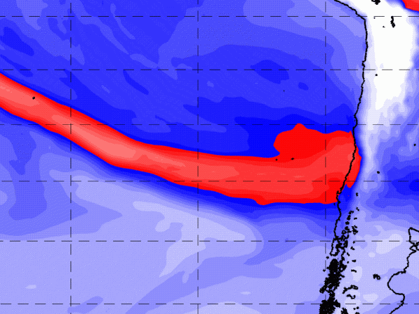
Potente río atmosférico desencadena históricas lluvias e inundaciones en Chile Central luego de 12 años de megasequía
Las lluvias regresaron con fuerza. Después de una mega-sequía de 12 años, el invierno de 2023 ha registrado más precipitaciones que en años anteriores, incluyendo un evento de lluvia extremo a fines de junio de 2023. Se estima que cerca de diez mil personas resultaron afectadas por las inundaciones, incluyendo desplazamientos forzados, pérdida de hogares,…
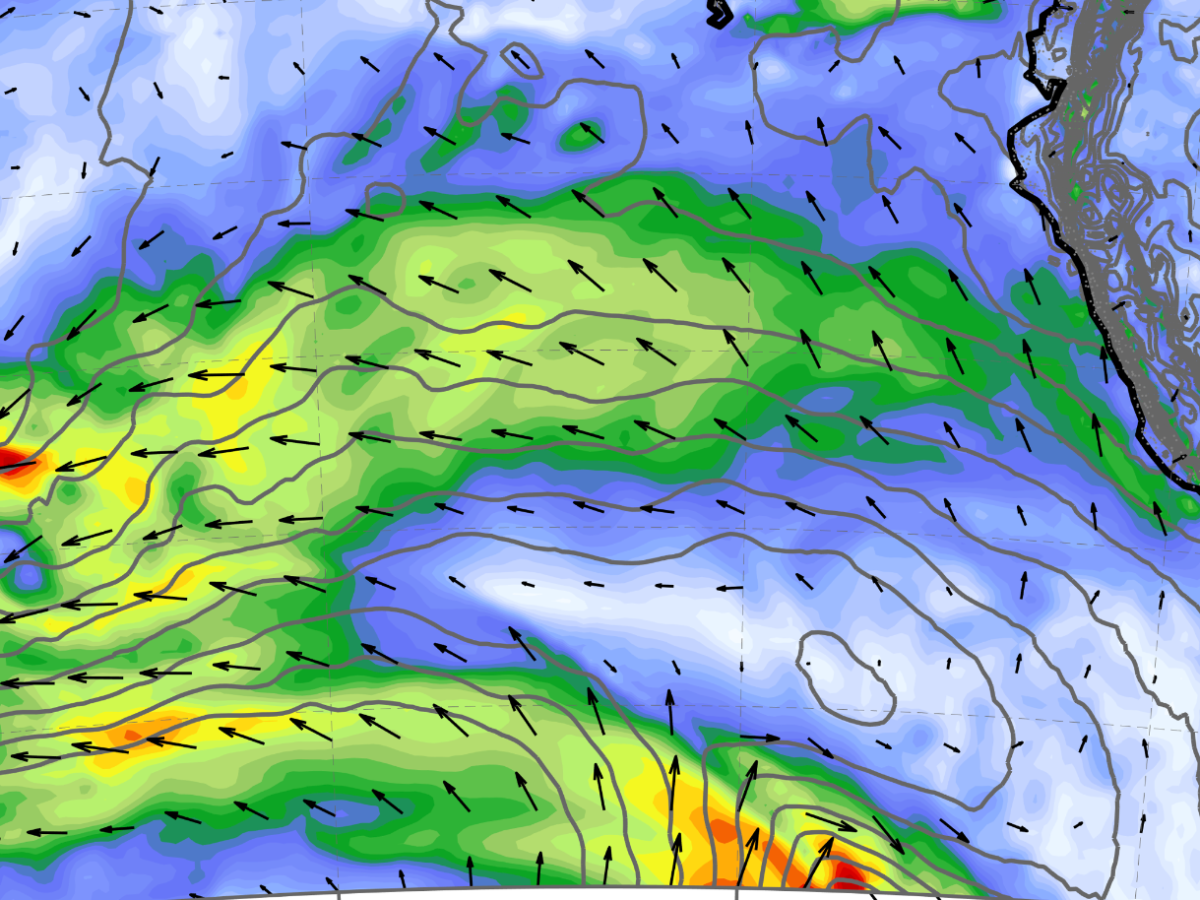
Animations: Poster Session CRC Meeting [18/11/2022]
Fig. 3b) Precipitation map from WRF Fig. 4) Cross-section from WRF Poster
Tornado Archive: Chile on the list of a worldwide database
Tornadoes are one of the deadliest and extreme weather phenomenons. They are hard to predict, they can last between minutes and hours, and the level of destruction can reach unimaginable levels. For this reason, it is important to understand where and when the tornadoes have been formed. We know this well in Chile. The massive…
The closest to South-America Tropical Cyclone ever recorded
For this reason, TD2, or unnamed tropical storm, is the system formed more close to South America since the satellite era began in 1979. Not even in other El Nino years, such as 1997/98, the South Pacific basin lived this high level of frequency in tropical activity.
Unprecedented 24-hour precipitation lead to ~40 people death in North Rhine-Westafalia and Rhineland-Palatinate
Today, the newspapers’ fronts showed the destruction due to the torrential rain that yesterday was recorded in the state of North Rhine-Westfalia (NRW) and Rhineland-Palatinate (RP). Precipitation was so intense, that lead to major rivers overflow and local mass removal. This situation generated the unfortunate dead of near 40 people, power outages, destruction of houses…
Record heatwave in Western US and Canada
Hi to all. Yesterday I was discussing with colleagues why the temperature reach so extreme values in the coast of Canada and north US. An interesting hypothesis I found is the next: In the west region of the upper tropospheric ridge (or dome), a cyclonic circulation was present in the low and mid-troposphere (1000-600 hPa), moving…
Follow my blog:
Receive in your email the latest posts:
